
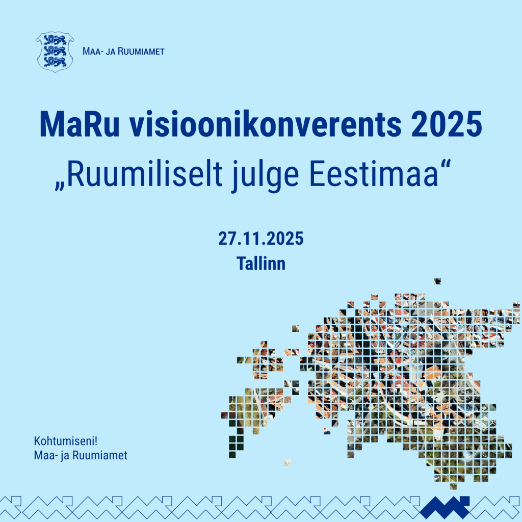
An exciting conference day with inspiring presentations and parallel sessions awaits you. In addition, we have prepared a demo area where you can explore new applications and solutions throughout the day.
Schedule
09:30–10:00 Registration and morning coffee
10:00–10:10 Opening remarks
Moderator ERR presenter Kristo Elias
Director General of the Land and Spatial Development Board Kati Tamtik
I CHALLENGES – WHERE IS ESTONIA HEADED IF WE DON'T CHANGE?
10:10-10:50 Scenario analysis: The future of Estonia's space and economy – what will happen if we don't change? SEB economic analyst Mihkel Nestor
10:50-11:15 A look at Estonia's future. Speaker to be confirmed
11:15-12:00 Discussion: What kind of spatial change does Estonia need?
12:00–13:00 Lunch
II SOLUTIONS - HOW TO CHANGE?
13:00-14:30 Parallel sessions (choose the one that suits you and register below):
1. Land, fields and value
2. Spatial data – risk and opportunity
3. Future-proof settlement and business space
14:30–15:00 Coffee break
III CONCLUSIONS – A SAFE SPACE STARTS WITH DECISIONS
15:00–15:30 Key ideas, discussions and conclusions from the parallel sessions
15:30–16:00 How do we shape a spatially bold and future-proof Estonia? Deputy Secretary General of the Ministry of Economic Affairs and Communications Ivan Sergejev, Director of the Land and Spatial Development Board Kati Tamtik, State Architect Tõnis Arjus
16:00–16:15 Summary and words of thanks
Register HERE for the conference and parallel sessions.
Registration is open until November 10. The number of places is limited.
Check out the new applications in the demo area!
Throughout the conference day, all participants will have the opportunity to explore new applications and services:
- TIndustrial area map application - Estonian industrial areas on a single map
- e-construction 3D map and building analytics - a look at how spatial data and digital construction solutions help to understand and manage the built environment
- AI-based solar panel detection - artificial intelligence finds and analyzes solar panels from aerial images
- Photogrammetry, aerial laser scanning, and satellite data – learn how orthophotos are created, how stereo mapping and 3D photo network models are created, how oblique photos are used in modern map creation processes, and what exciting things can be done with satellite data
- PLANIS – a new planning information system that brings together all of Estonia's spatial planning information
- AKS–ADS – a tool for managing address data and place names, ensuring accuracy and consistency in Estonia's spatial data
- e-construction chatbot – an innovative virtual assistant that helps you quickly find answers to questions about construction
In the demo area, you can try out all the applications yourself and ask Land and Spatial Development Board experts for advice.
Additional information: [email protected].

